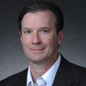
Matthew Cross
Bio
Matthew Cross is an instructor in the Department of Geography & the Environment at the University of Denver, teaching classes in remote sensing and LiDAR. As a senior product manager at Maxar Technologies, he led the development and launch of core imagery products and services, working with cross-functional teams and stakeholders to deliver high-quality and user-centric outcomes. Matthew also contributed to the company’s mission of providing geospatial intelligence and insights to customers across various domains and sectors. Prior to that, he was an associate professor and coordinator of the GISci certificate program at the University of Colorado Denver, where he taught and mentored students, conducted research, and published papers on topics related to remote sensing of the environment. He has in-depth experience with databases, data management, and ArcGIS Pro, as well as a keen interest in the applications and implications of imagery and geospatial data for various fields and challenges.
Education
Matthew has a Ph.D. in Civil Engineering Systems from the University of Colorado Denver, and an M.A. in Climatology/Remote Sensing and a B.S. in Meteorology from the University of Nebraska-Lincoln.

